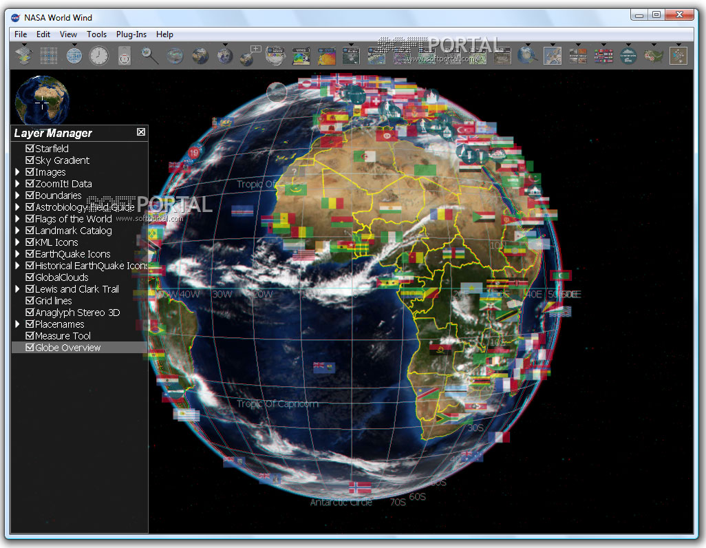
NASA World Wind 1.4.0
| Evaluation | 4.45/5 votes - 332 |
|---|---|
| License | Free |
| Version | 1.4.0 |
| Updated | 15.02.2007 |
| OS | Windows Vista, XP, 2000 |
| Interface | English |
| Developer | NASA |
| Categories | Maps, Diagrams - Astronomy |
| Downloads (today/total) | 0 / 209 169 |
| Size | 15.98 Mb |
NASA World Wind - the program allows you to observe three-dimensional images of the Earth's surface and the Moon obtained from a satellite and perform a virtual search. The NASA World Wind program, unlike Google Earth, allows not only to contemplate the 3D surface of the Earth, but also to examine the surface of its natural satellite - the Moon.
Initially, the NASA World Wind program, like Google Earth, was designed to visualize terrestrial cartographic data. The entire territory of the Earth was captured with a resolution of 15 meters per pixel, while the territory of the United States is 1 meter/pixel, and densely populated territories are 0.33 meters/pixel.
To get anywhere on the planet, there is a search in which you just need to type the object of interest, be it a city or some area. Similarly, similar to Google Earth, by setting a search, the image of the planet begins to rotate and zoom in on the object, drawing it as close as possible.
The zoom function is implemented in World Wind as a change in the height from which the camera looks at the surface. From a great height, the image looks flat, but from a height of several tens of kilometers in the mountains, the effect of perspective is clearly noticeable, and the smooth scrolling of the image gives the impression of flying over real terrain.
In addition to the image of the Earth, the program also shows the surface of the Moon. The images were obtained from the Clementine satellite, launched in 1994 and has taken about 1.8 million images during this time. NASA World Wind allows you to observe the Moon at almost any point, adjusting the approximation of the image. The image clearly shows the relief of a natural satellite, mountains, craters and crevices. Some images are so detailed that it makes it possible to adjust the view of the Moon's surface from twenty meters.
In addition to all this, you can view statistics on earthquakes, typhoons, winds, tsunamis and other natural phenomena in the program. NASA World Wind will be interesting to use for educational and cognitive purposes.
Other similar programs