OsmAnd Maps and Navigation 2.8.2

| Evaluation | 4.00/5 votes - 3 |
|---|---|
| License | Free |
| Version | 2.8.2 |
| Updated | 27.11.2017 |
| OS | Android 4.x, 5.x, 6.x, 7.x |
| Interface | English |
| Developer | OsmAnd |
| Category | Maps |
| Downloads (today/total) | 0 / 3 248 |
| Size | 69.07 Mb |
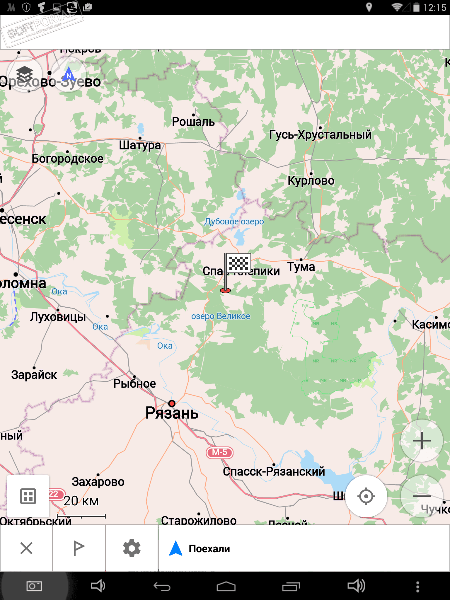
OsmAnd Maps and Navigation is a cool navigation application that will help all travelers navigate unfamiliar terrain, plot the most optimal route, find the right objects on the map and get various useful information about them. The program uses data from Open Street Maps (OSM).
OsmAnd Maps and Navigation works with both vector and raster maps without additional internet access. To do this, you only need to download the necessary maps to your device once (preferably via Wi-Fi, because they are quite voluminous) and use them at any convenient time and in any place - even where there is no coverage.
Various additional information is available on the maps, such as the navigation route, objects (POIs), selected locations, elevation lines, public transport stops. You can use multiple maps at the same time by superimposing them on top of each other and adjusting the transparency. Thus, you can easily:
- search for addresses and objects without Internet access,
- plot routes for any distance (car, hiking, cycling),
- change the map scale depending on the speed of movement,
- use voice commands when driving along the route,
- receive warnings about exceeding the permissible speed.
- switch to day/night mode of map rendering and much more.
In general, travel conveniently and comfortably around the world with the OsmAnd Maps and Navigation application, building optimal routes and finding the right places along the way.
Note. The free version of the program is limited to downloading only 10 maps, and there is also no way to view the description of attractions from Wikipedia without Internet access.


